
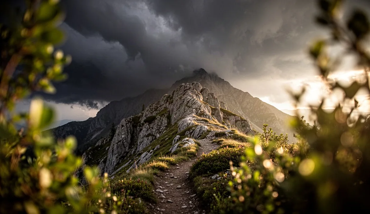

Ridgelines offer some of the finest views along any trail, yet they also expose walkers to weather changes with little warning and even less shelter. A storm that seems distant from a valley floor can arrive within minutes once one is standing on an open crest. Learning to read the sky, the wind and the temperature before conditions turn is not a matter of folklore; it is a practical skill built on observable patterns that any attentive walker can learn to notice.
This article sets out the visible and physical signs that typically precede a storm on high ground, along with guidance on timing, decision-making and shelter. None of what follows replaces a proper forecast or the judgement of someone experienced with the specific range being walked, but it should help a walker recognise when conditions are shifting and respond with appropriate caution.
Common Cloud Types That Signal Changing Weather
Clouds are usually the first and most reliable indicator that weather is about to change on a ridge. Cumulus clouds that build vertically through the morning, developing flat, anvil-shaped tops by early afternoon, are a strong sign that a thunderstorm is forming. This transformation, from small cotton-like puffs into towering cumulonimbus, can happen in under two hours on a warm, humid day.
Altocumulus clouds arranged in rippled rows, sometimes described as a "mackerel sky," often precede a frontal system by twelve to twenty-four hours. Cirrus clouds thickening and lowering into cirrostratus, which produce a pale halo around the sun or moon, frequently signal that a warm front is approaching within a day. Walkers who notice this progression should treat it as a prompt to check the latest forecast rather than assume the current clear skies will hold.
- Cumulonimbus with anvil tops: imminent thunderstorm risk, often within one to three hours.
- Mammatus clouds (pouch-like formations on the underside of a storm cloud): associated with severe or already-active storms nearby.
- Lenticular clouds over peaks: indicate strong upper winds and possible turbulence, even under otherwise calm conditions.
- Rapidly lowering cloud base: suggests decreasing visibility and possible precipitation within the hour.
A useful habit is to photograph the sky every thirty to sixty minutes during a long ridge walk. Comparing images later, or even glancing back at them during the walk, makes it easier to notice gradual build-up that might otherwise go unnoticed against a backdrop of shifting scenery.
Wind Shifts and What They Often Indicate
Wind direction and strength on a ridge can change abruptly, and these shifts often carry meaning beyond simple discomfort. A wind that backs, meaning it shifts counter-clockwise in the northern hemisphere, frequently indicates an approaching low-pressure system and worsening weather within six to twelve hours. A wind that veers, shifting clockwise, more often suggests improving conditions, though this is not a fixed rule and varies by region and season.
Sudden gusts that arrive without a corresponding increase in the general wind speed can signal an approaching squall line or the outflow boundary of a nearby thunderstorm. These gusts sometimes arrive minutes before visible rain and can exceed 40 kilometres per hour even when the surrounding air felt calm moments earlier.
Walkers should also pay attention to wind consistency. A steady breeze from one direction is generally less concerning than a wind that repeatedly shifts direction over a short period, since erratic wind is often associated with unstable air and localized storm cells forming nearby. On an exposed ridge, a sharp temperature-driven gust preceding a wind shift is frequently the first physical sign of a storm's leading edge, sometimes arriving five to fifteen minutes ahead of visible rain.
Temperature Drops as an Early Warning Sign
A rapid drop in temperature, sometimes several degrees within ten to fifteen minutes, often precedes the arrival of a thunderstorm's outflow. This cooling occurs because cold air descending from the storm spreads outward ahead of the precipitation itself, reaching the ground before the rain does. Walkers who notice this chill, particularly if it coincides with darkening skies to the west or south (in the northern hemisphere), should treat it as a signal to seek lower, more sheltered ground promptly.
A more gradual cooling trend over several hours, by contrast, is more commonly associated with an approaching cold front and a longer period of unsettled weather rather than an immediate storm. Distinguishing between the two matters for decision-making: a sharp, sudden drop calls for immediate action, while a slow decline allows more time to plan a route change.
Carrying a small pocket thermometer or simply paying close attention to bare skin can help a walker notice these shifts sooner than relying on cloud appearance alone. A drop of five degrees Celsius or more within a short span, especially paired with increasing wind, is widely regarded among experienced hillwalkers as a reliable prompt to abandon exposed terrain.
Distance and Timing Between Lightning and Thunder
The interval between seeing a lightning flash and hearing the associated thunder gives a rough estimate of the storm's distance, since sound travels at approximately 343 metres per second while light is essentially instantaneous. Counting the seconds between flash and thunder and dividing by three gives the distance in kilometres.
| Seconds between flash and thunder | Approximate distance | Recommended action |
|---|---|---|
| 30 seconds or more | 10 kilometres or further | Monitor conditions, continue with caution |
| 15 to 30 seconds | 5 to 10 kilometres | Begin moving toward lower ground |
| Under 15 seconds | Under 5 kilometres | Leave exposed ridge immediately |
| Flash and thunder near-simultaneous | Under 1.5 kilometres | Seek the lowest available shelter without delay |
It is worth noting that storms can move at speeds exceeding 40 kilometres per hour, meaning the interval measured at one moment may shrink considerably within ten minutes. A single measurement should never be treated as a stable reading; repeating the count every few minutes gives a far better sense of whether the storm is approaching, receding or moving laterally.
Lightning has also been documented striking as far as 15 kilometres from the parent storm cloud, well beyond the area of visible rain. For this reason, many safety guidelines used by outdoor organisations recommend waiting at least thirty minutes after the last observed thunder before returning to exposed ground.
Deciding When to Turn Back on an Exposed Route
Deciding to turn back is rarely comfortable, particularly after hours of climbing toward a summit, but ridgelines offer little protection once weather deteriorates. A useful practice is to set a turnaround time before departure, based on the forecast and the length of the exposed section, and to treat that time as a firm limit rather than a flexible target.
Several observable conditions should prompt an immediate decision to descend rather than continue:
- Darkening cloud base accompanied by a noticeable drop in temperature.
- Any audible thunder, regardless of how distant it initially seems.
- Sudden, gusty wind shifts inconsistent with the day's earlier pattern.
- Visible rain shafts or virga approaching from any direction.
- A tingling sensation on skin or hair standing on end, which can indicate an imminent lightning strike and calls for immediate action.
Group leaders, where applicable, should communicate the decision clearly and avoid allowing summit fever, the strong desire to reach a goal despite worsening signs, to override caution. A short section of ridge remaining before a summit is rarely worth the risk once two or more of the signs above appear together. If uncertainty remains about the severity of local conditions, consulting a qualified mountain guide or local ranger station before the walk begins is a sensible precaution.
Alternative Shelter Options Below the Ridgeline
Once a decision to leave exposed ground has been made, the choice of shelter matters almost as much as the timing. Open ridgelines, isolated trees and shallow depressions offer little genuine protection from lightning and should be avoided as primary shelter. A safer approach involves descending to lower terrain and seeking one of the following:
- Dense stands of similarly sized trees: preferable to a single tall or isolated tree, and best approached while staying at least twice the tree's height away from any single trunk.
- Rock overhangs or shallow caves: useful for rain, though walkers should avoid the mouth of a cave during lightning activity and instead sit well inside, away from the entrance and any metal equipment.
- Vehicles with a solid metal roof: among the safer options if accessible from the trailhead, as the metal frame can direct a strike around the occupants.
- Purpose-built refuge huts, where present along the route, particularly in ranges with established mountain hut networks.
Depressions in the landscape, such as gullies or the lower slopes of a ridge rather than its crest, reduce exposure to direct strikes even without formal shelter. Walkers should avoid standing near fence lines, poles or any metal fixtures during a storm, since these can conduct a strike over some distance. Spacing group members several metres apart, rather than clustering together, is also recommended by several outdoor safety organisations to reduce the chance of multiple casualties from a single strike.
Checking Regional Forecasts Before Departure
Reading the sky during a walk is a valuable skill, but it works best alongside a forecast checked no more than a few hours before setting out. Mountain and ridge weather can differ substantially from the forecast issued for a nearby town, since elevation, aspect and local wind patterns all influence conditions at height. Where available, a mountain-specific forecast service or the local meteorological office's alpine bulletin tends to offer far more relevant detail than a general regional forecast.
Walkers should look specifically for convective outlooks, which indicate the likelihood of thunderstorm development, alongside standard temperature and precipitation figures. A probability of thunderstorms above roughly thirty percent for the afternoon hours is generally treated by experienced hillwalkers as sufficient reason to plan an earlier start, aiming to be off exposed ground before early afternoon, when convective storms most commonly build.
Registering a planned route with a local ranger station or mountain rescue service, where such a service exists, adds a further layer of safety, since it allows conditions to be relayed quickly if the forecast changes while the walker is already on the trail. For multi-day routes across several ridgelines, checking the forecast again each evening, rather than relying solely on the figures gathered before departure, is a sound practice.
Common mistakes
Many walkers underestimate how quickly conditions can shift on high ground, assuming that a clear morning guarantees a clear afternoon. Others count lightning intervals only once, rather than tracking the trend over several measurements, and so miss a storm that is closing in quickly. A further frequent error is delaying the decision to turn back until thunder is already close, rather than treating early cloud and wind signs as sufficient reason to descend. Finally, some walkers shelter under an isolated tree or beneath a rocky overhang at a ridge crest, both of which carry meaningful lightning risk despite offering some protection from rain.
Practical next steps
Before the next ridge walk, it is worth reviewing the forecast for both the trailhead town and, where available, a mountain-specific bulletin, and setting a firm turnaround time based on that information. During the walk, checking the sky every half hour or so, noting wind shifts and keeping a rough count of any lightning interval will provide the early information needed to make a timely decision. Carrying a lightweight, offline map of nearby shelter options, whether huts, tree stands or accessible vehicle parking, means that decision can be acted on quickly rather than debated under pressure. Where conditions or local hazards remain unclear, contacting a local ranger station, mountain guide service or experienced club member ahead of the walk is a reasonable and worthwhile step.